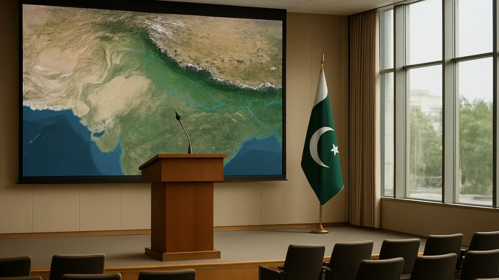
Pakistan’s Minister for Planning, Ahsan Iqbal, has called for prompt use of satellite technology and early warning systems to shield at-risk populations from climate change and natural disasters. He made the call at the opening of an international conference held in Islamabad in collaboration with the United Nations Office for Outer Space Affairs (UNOOSA).
Speaking at the event, Iqbal said that timely access to satellite-based information could save lives and reduce economic damage caused by floods, cyclones and glacial melt. He argued that Pakistan bears a heavy burden from climate change even though it produces less than one percent of global greenhouse gas emissions.
Flood losses and criticism of the funding response
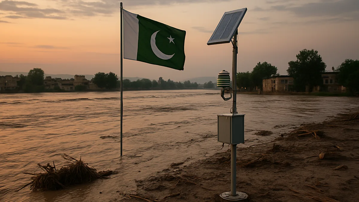
Iqbal pointed to the devastating floods of 2022 and 2025, which he said had caused economic losses of more than $30bn. He criticised the international response to Pakistan’s recovery needs, saying partners and financial institutions had not offered enough fresh grant money for reconstruction.
Also read: Pakistan urges legally binding treaty to prevent space arms race
According to Iqbal, some proposals instead involved redirecting previously approved loans that were meant for education and healthcare. He said this approach ran counter to the principles of climate justice, and he called for reforms to the international financial system so developing countries could gain fairer access to climate finance. He also stressed that vulnerable nations should not be pushed deeper into debt over a crisis they had done little to create.
Space programme progress and plans for an astronaut
Highlighting Pakistan’s advances in space technology, Professor Ahsan Iqbal said the country had launched five satellites over the previous 18 months. He described this as evidence of a growing commitment to building national capacity in space science and technology.
Iqbal also announced that Pakistan was preparing to send its first astronaut into space in the near future. He added that satellite data should become a core part of national development planning, particularly when designing critical infrastructure such as roads, bridges and hospitals. Using space-based information to assess risks, he said, could help authorities spot weaknesses, build resilience and make public investment more sustainable.
Priorities for regional cooperation and skills
The minister outlined several priorities for putting space technology to practical use:
- Integrating space-based data into government decision-making
- Improving secure information-sharing between institutions
- Investing in human resource development
He placed particular emphasis on creating more opportunities for young people, especially women, in space science and geospatial technologies. Iqbal also urged closer regional cooperation and the exchange of information on shared rivers, mountain systems and climate-related risks.
He noted that natural disasters do not stop at national borders, and that reliable information backed by regional collaboration could significantly strengthen early warning, preparedness and emergency response. Concluding his address, he expressed hope that the conference would produce practical recommendations for using space technology to protect lives, reduce the impact of disasters and advance sustainable development. He then formally inaugurated the conference.